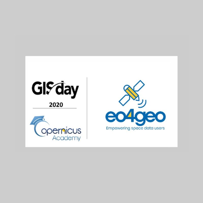
On November 18, the Geographic Information Systems Day (GIS) or GIS Day (in English) is celebrated and as every year the GEOTEC section (INIT) will celebrate it with the entire UJI university community.
This year GEOTEC, with the collaboration of the Degree in Agri-Food Engineering and the Rural Environment and hand in hand with the European project EO4GEO (www.eo4geo.eu), will celebrate GIS Day with all the students of the 3rd and 4th year of the Degree in Agri-Food Engineering and of the Rural Environment.
In order to participate in the session and control the capacity, you must register at https://forms.gle/QFHTr6xN8BMNvoRn6. It can also be accessed online through the virtual classroom.
Schedule:
- Brief introduction to the EO4GEO project and GISDay
Copernicus Program: Copernicus Land Monitoring Service
Emerging technologies applied to agriculture
Practical uses of Copernicus data and GIS technologies for agricultural and environmental management